One of the best things about Lancaster is how small and easy the city is to navigate, making the move to a new place for uni feel just a little bit less daunting.
Whilst that is true, the ancient road layout and abundance of buses (at least Monday-Saturday during term time) can make navigating Lancaster as a pedestrian pretty difficult.
As ever we’re looking out for student safety, so we’ve compiled a list of seven spots in Lancaster to be vary of when crossing the road.
The Pointer Roundabout
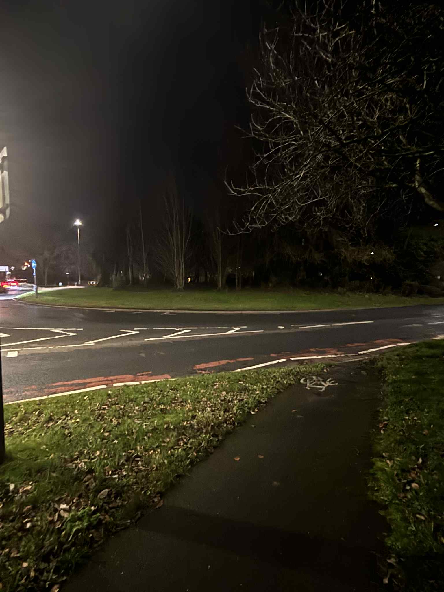
Danger begins before you even get into the city centre itself. The pointer roundabout is the main roundabout in Lancs, where the A6 meets the traffic from Bowerham and local schools. Even on paper this roundabout sounds busy enough to cause problems.
The real issue lies with the fact that the only pedestrian crossing runs across the A6. Understandably, this is the fastest and most dangerous road joining the roundabout, but the unpredictability of cars swinging from the road into Lancs into Bowerham keeps us students on our toes.
A representative for the Lancashire County Council’s Highways Network Management told The Lancaster Tab: “The Pointer roundabout is on our radar and we have recently undertaken consultation on changes to the site to improve safety (and by default remove it from the student hot spot list).”
Aldcliffe Road 
Better known as the death trap between Aldi and the infirmary, Aldcliffe Road is the site of many student near misses.
The combination of the unpredictable traffic from the Penny Street junction, masses of cars coming too and from Aldi, and the massive bags of shopping making it just that bit more difficult to hop across the road.
The start of Penny Street
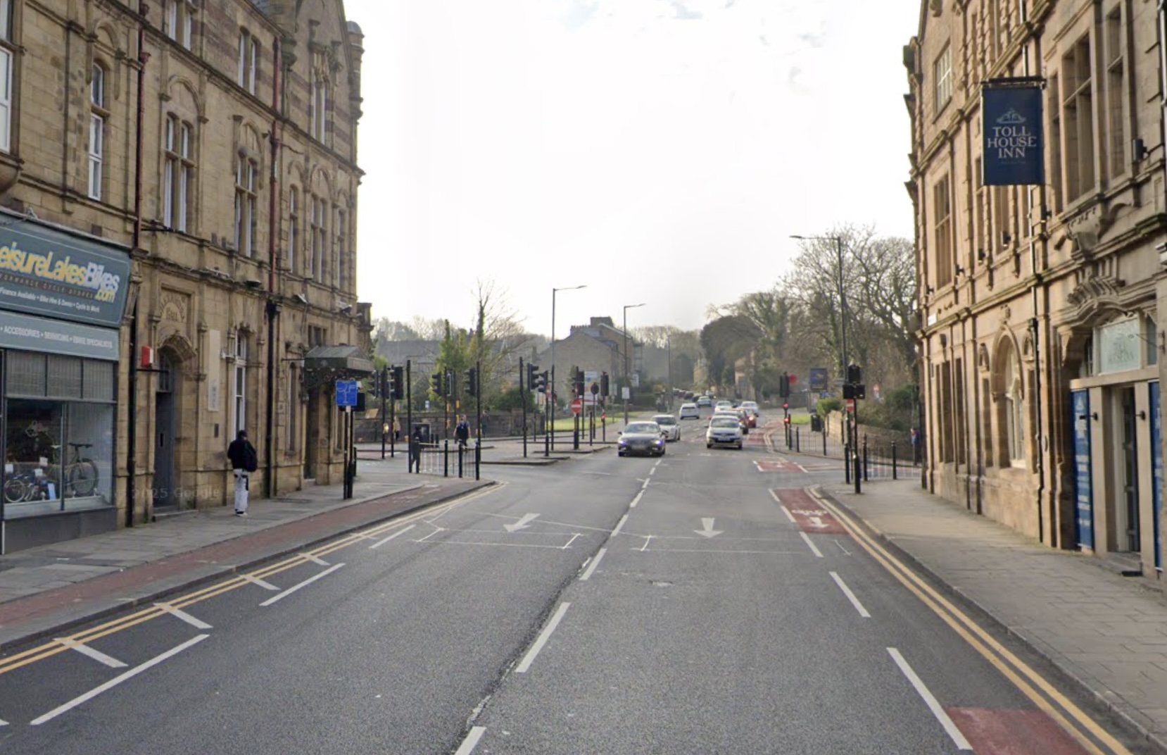
via Google Maps
If you’ve not had to cross Aldcliffe Road, it’s pretty likely that you’ll be crossing Penny Street. As cars join Lancaster’s iconic one-way system (at least we only have cars coming from one direction) Penny Street turns into a three carriageway road complete with cycle paths as it approaches KFC.
Trying to judge when the different traffic lights will release cars at the junction can be a bit of a nightmare, making for another sprint to safety across one of the widest roads in the city.
The crossing at the entrance to Common Garden Street
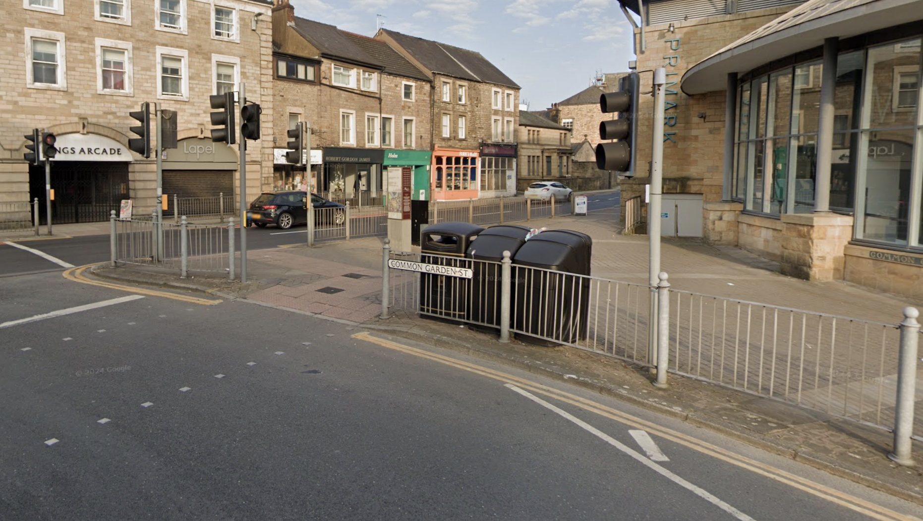
via Google Maps
This is one of the few spots on the list which has an actual crossing. But if you’re impatient or running for a bus, that’s unlikely to slow you down.
The flow of traffic into Common Garden Street is very stop-start, so time it well and it’s easy to run across this junction. Time it badly, and you’ll be darting between taxis, cars, and buses swinging into the busiest student bus stop in Lancaster.
The crossing between Market Street and King Street
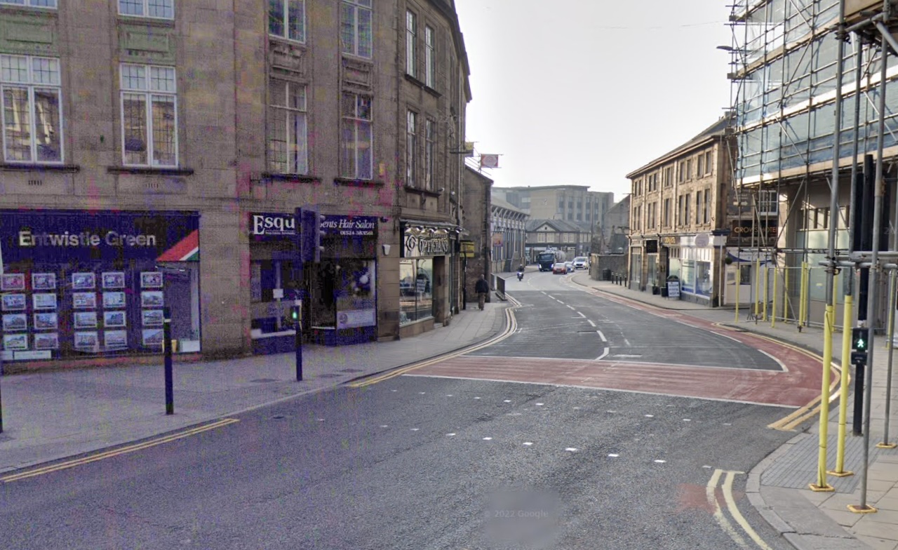
via Google Maps
Another crossing on the list, this one will be familiar to students who are always running late for the train. After the sprint from Common Garden Street towards TK Maxx, onto Market Street and past the charity shop cluster (rest in peace to the St John’s Hospice and Cancer Research shops), students then face the agonising wait at the super slow crossing across King Street.
If you choose to time it right, you can make it across whilst the traffic is coming from Market street onto the one way system. Cars move so quickly and in so many directions here that we wouldn’t chance it though.
The junction between North Road and Rosemary Lane

The junction between North Road and Rosemary Lane (we can’t believe that’s what the road is called either) is another hotspot for chaos. During the day, you’ve got traffic coming round the blind bend of North Road to contend with between the buses leaving the bus station for uni down Chapel Street.
On nights out, this corner is a whole different ball game. Student favs Greens and Sugar are on either side of this junction, creating a constant stream of pedestrians across the road between 11pm and 3am Wednesdays and Fridays at least. It’s mental trying to dodge the taxis swinging round the corner of the empty road.
A representative for the Lancashire County Council’s Highways Network Management told The Lancaster Tab: “Crossing points are placed a intervals that encourage safe crossing for users without impacting the network to much, we would encourage students to follow the green cross code if they chose to cross at a non managed location.”
“[We] appreciate that the closest signalised crossing point is further up the road but if pedestrians are not confident crossing the road then we would encourage the use of the signal crossing point just 90m from the corner of Rosemary Lane and North Road.”
The Sainsbury’s slip road
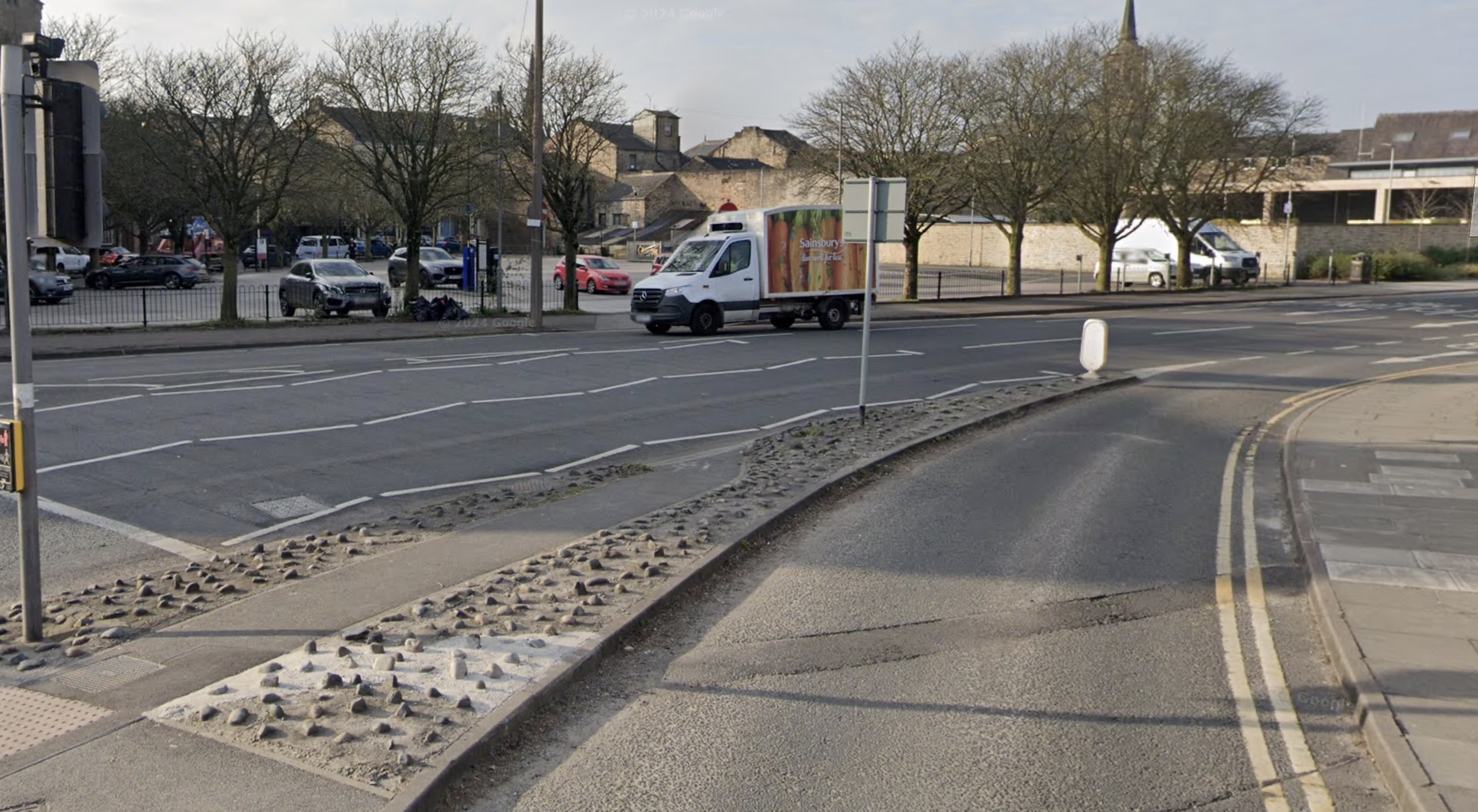
via Google Maps
If you’re planning to visit the north of Lancaster on foot from the bus station for some reason (Lidl, Farmfoods or B&M anyone?), then you’ll probably have to cross the slip road filtering traffic from Cable Street into the Sainsbury’s car park. Cars can come super quickly and unpredictably making for a bit of a dash.
This one doesn’t pose such a problem on a night out despite it being so close to Sugar, since nobody really makes a 1am Friday night trip to the Sainsbury’s car park. We can’t understand why.
The Lancaster Tab reached out to
Lancaster University encourages students to report any dangerous driving to the Lancashire Constabulary on their website.
The Lancaster Tab reached out to the Lancashire Constabulary for comment on student road safety, but is yet to receive a response.
The Lancaster Tab reached out to the Students’ Union for comment on student road safety, but is yet to receive a response.
For more of the latest news, guides, gossip, and memes, follow The Lancaster Tab on Instagram, TikTok, and Facebook.