
For many areas of the U.S., especially around the Great Lakes or in the Northeast, it’s been a very snowy and cold month of December, with some regions shattering records.
Now, a meteorologist is warning that the worst is not necessarily over yet. Ryan Maue, a meteorologist with Weather Trader, wrote on X on December 9, “Upcoming weekend ‘Arctic Blast’ was wildly underestimated.” He believes that a “temperature anomaly” is “coming in like a wrecking ball,” as the result of a “textbook ‘Polar Vortex’ mega-dump of western Canadian cold pool.”
“Bundle up across Eastern US!” he added. He’s not alone in issuing the warning. “Yet another round of Arctic cold looks to dive southward into the northern Plains on Wednesday December 10 and then progress south and east through the upcoming weekend, December 13-14,” AccuWeather meteorologist Dan Pydynowski told Newsweek.
‘It’s Only Going to Get Worse,’ the Meteorologist Warned
Upcoming weekend “Arctic Blast” was wildly underestimated by even the flagship ECMWF model
The 06z model update “temperature anomaly” coming in like a “wrecking ball” –> textbook “Polar Vortex” mega-dump of western Canadian cold pool.
Bundle up across Eastern US 🇺🇸! 🧥 https://t.co/P2mTq3uE6j pic.twitter.com/uFtcPGxPou
— Ryan Maue (@RyanMaue) December 9, 2025
Maue’s warning wasn’t over. “Going to be bombarding this platform with even more maps showing extreme cold into next weekend. It’s only going to get worse,” he wrote. He also referred to the looming storm as a “mega-dump” of cold air.
He added, “Yes, very cold this weekend across Midwest and Great Lakes, but peep that Nor’easter (blizzard) that ‘bombs out’ in the Gulf of Maine early next week. We can hope, right?”
Maue’s prediction was backed up by another weather expert. “Some of the coldest, if not the coldest, temperatures across the entire globe will cover the central and eastern U.S. over the weekend and into early next week,” said climatologist Judah Cohen, a research scientist at MIT, to USA Today.
“It also seems that the most expansive and continuous area of below normal temperatures across the globe will extend from Alaska to the eastern U.S. this upcoming week,” he told USA Today.
The Cold Air Was Called ‘Relentless’ by a Top Weather Site
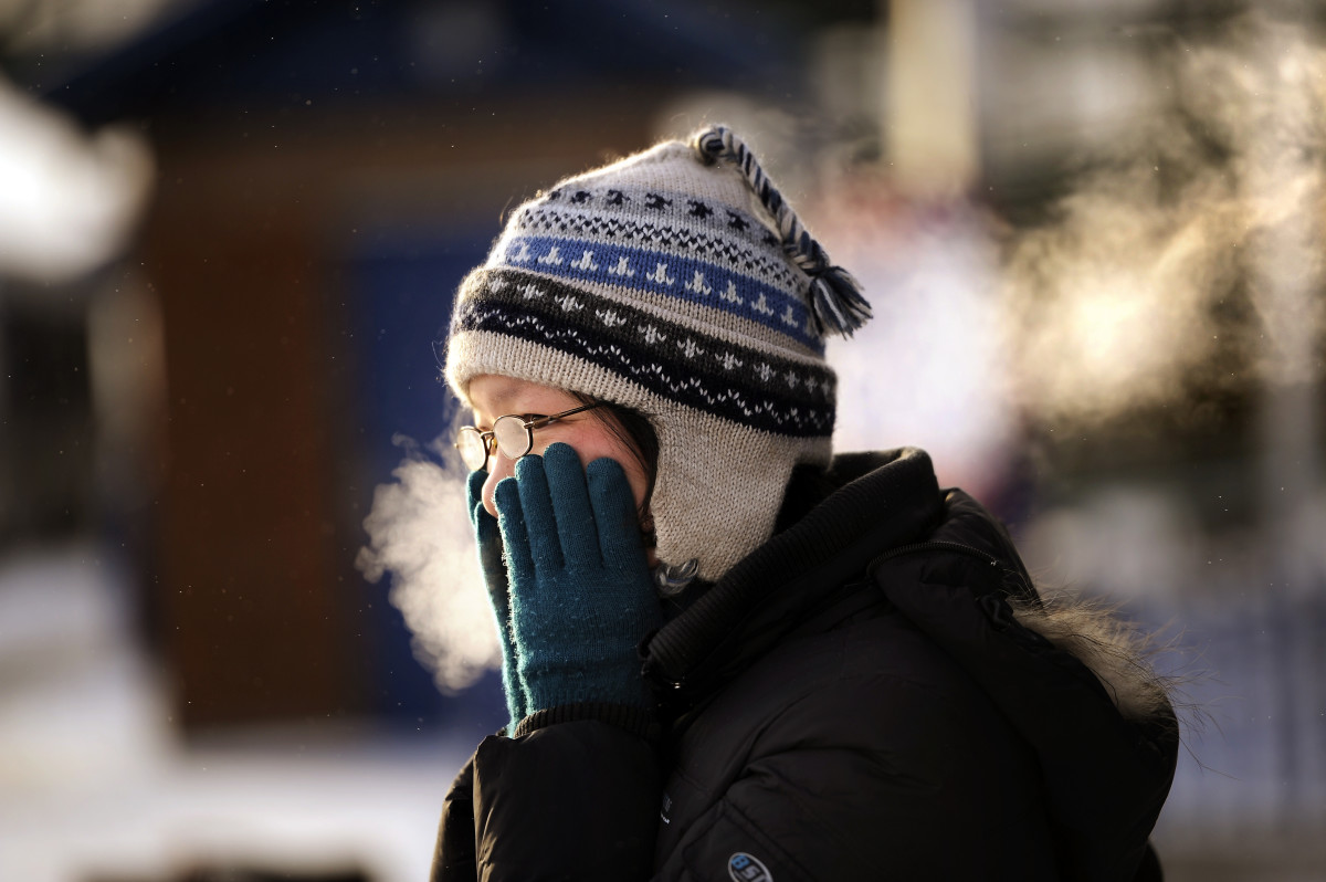
Photo By Joe Amon/The Denver Post via Getty Images
The Weather Channel wrote on December 8 that the cold front is “relentless.”
“The relentless early-season cold isn’t letting up, as multiple clipper systems will bring reinforcing shots of cold air into next week. Here’s when it will arrive, who it will affect and how cold it will get,” the site reported.
Accuweather concurred. “The parade of clippers will continue late week into the weekend, bringing more rounds of accumulating snow from the Plains to the Northeast. The jet stream will dip farther south through the week, helping usher additional clippers farther south than the previous ones, allowing for the potential for accumulating snow and travel disruptions to occur farther south,” that site reported.
Added the weather forecasting site, “Each clipper will also help reinforce chilly air into the Midwest and Northeast. By Friday night, low temperatures will once again plummet to near or subzero across the Midwest. Highs on Saturday in cities like Chicago, Minneapolis and Madison, Wisconsin, may only top out in the single digits, marking a cold start to the upcoming weekend.”
“With fresh cold air in place by the weekend, another clipper storm that rolls through may bring a better chance of accumulating snow in coastal areas of the mid-Atlantic and New England,” AccuWeather Senior Meteorologist Alex Sosnowski said to Accuweather.
