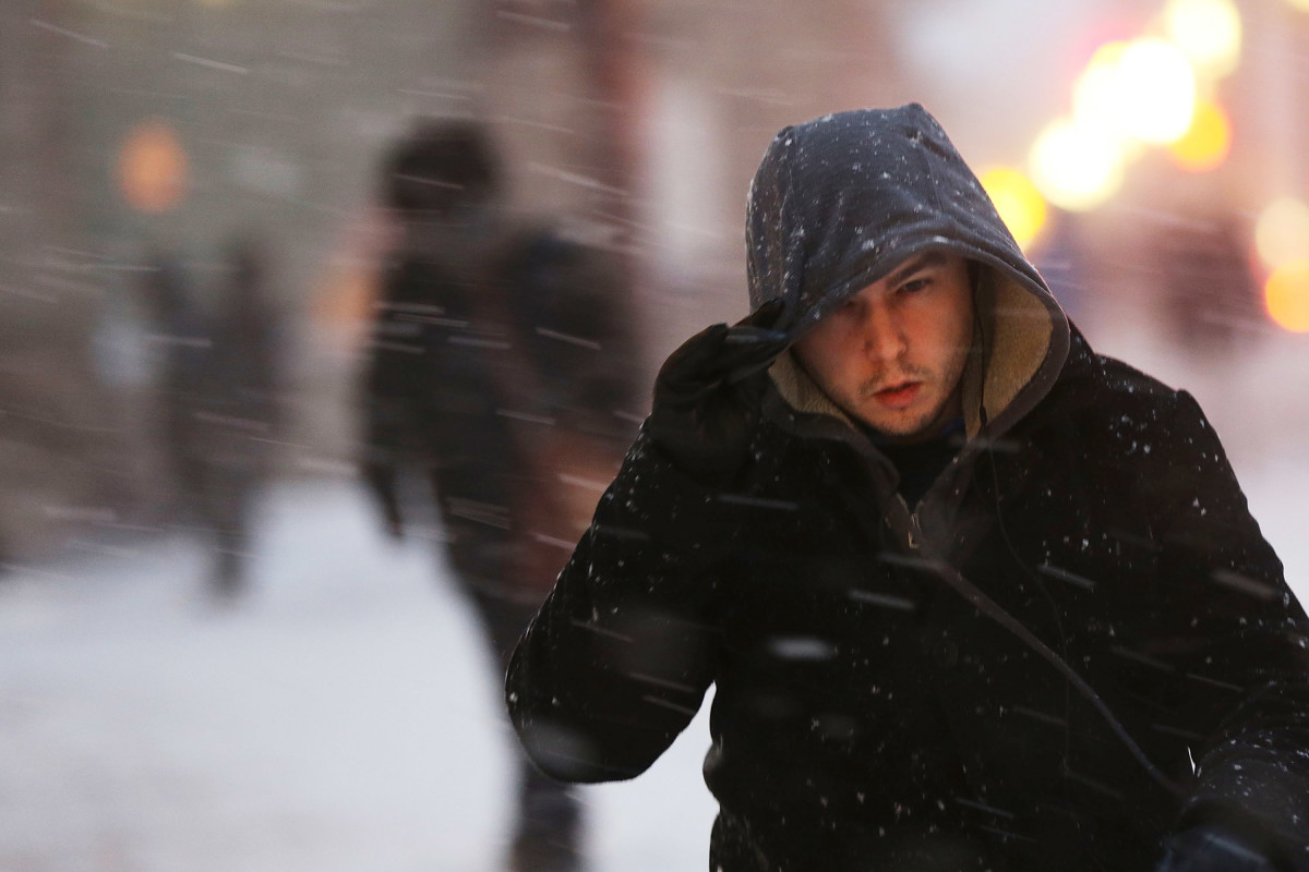
The winter weather warnings on the weekend of December 13-14 are widespread. In fact, 60 million people throughout the U.S. were under warnings on December 13.
The warnings are for dangerous cold temperatures. The cold weather alerts affect the 60 million people in regions “from the Northern Plains through the Southeast,” according to NBC News, including major cities like Minneapolis, Chicago, St. Louis, Memphis, Huntsville and Myrtle Beach. The areas could see “dangerously cold wind chills are expected,” NBC News reported, which some of the alerts extending through Monday, December 15. For example:
- Temperatures in Minneapolis on the evening of December 13 were expected to be -15 degrees and “bitterly cold; dress warmly; one of the coldest nights of the season so far.”
- In Bismarck, ND, forecasters were predicting “frigid” cold sinking as long as -7 degrees.
- In Des Moines, IA, people were warned to expect one of the “coldest nights of the season” on December 13, with -7 degree temperatures expected.
Temperatures Could Sink to -25 Degrees in the Midwest & Northern Plains, Reports Say
According to NBC News, the most “extreme temperatures will hit the Northern Plains and Midwest on Saturday night,” December 13, “where overnight temperatures could dip as low as -25 degrees.”
Wind chills will make it feel even colder to people in the Dakotas, Wisconsin, and Minnesota, NBC News reported, where it will “feel like -30 to -35 degrees.”
“Arctic air will bring very cold temperatures and dangerous wind chills from the Northern Plains to the Ohio Valley today, expanding into the Mid-South and Mid-Atlantic on Sunday,” the National Weather Service warned on December 13. “A swath of accumulating snow is expected today from the Midwest to Central Appalachians, expanding into portions of the Mid-Atlantic tonight into Sunday.”
An Arctic ‘Airmass’ Is Descending on Areas of the United States

(Photo by Spencer Platt/Getty Images)
According to the National Weather Service, an Arctic “airmass” is responsible for the cold temperatures.
“An arctic airmass will descend over the lower 48 via Northern/Central Plains and Upper/Middle Mississippi Valleys today then expand into the Midwest, Southern Plains, Lower Mississippi Valley and East Coast on Sunday,” NWS wrote.
“Some low maximum temperature records may be broken over the Upper Midwest/Michigan today with highs in the single digits to sub-zeros. Extreme Cold Warnings are in effect for portions of northwestern Minnesota into northeastern North Dakota this morning. Low max temperatures may also be broken over the Midwest on Sunday, when highs in the teens will be 20-30 degrees below average,” the alert added.
Some snow could continue to fall, although the frigid temperatures were the greater concern. “Mid-level energy moving through the southern periphery of an upper low spinning across the Great Lakes will generate a fast-hitting swath of light to moderate snowfall from the Northern Plains to the Ohio Valley today,” NWS wrote on December 13. “Snow then moves into the Central Appalachians and Mid-Atlantic/Northeast Coast tonight through early Sunday morning. Winter Storm Warnings and Winter Weather Advisories are in effect from the Northern Plains to Mid-Atlantic Coast.”
